


WEST PALM BEACH, Fla. — Patchy light rain is possible tonight. It will be mainly cloudy overnight with temperatures in the mid 70s.
A stormy weather pattern will continue through the middle of the week, as a disturbance will develop near north FL before heading into the Gulf.
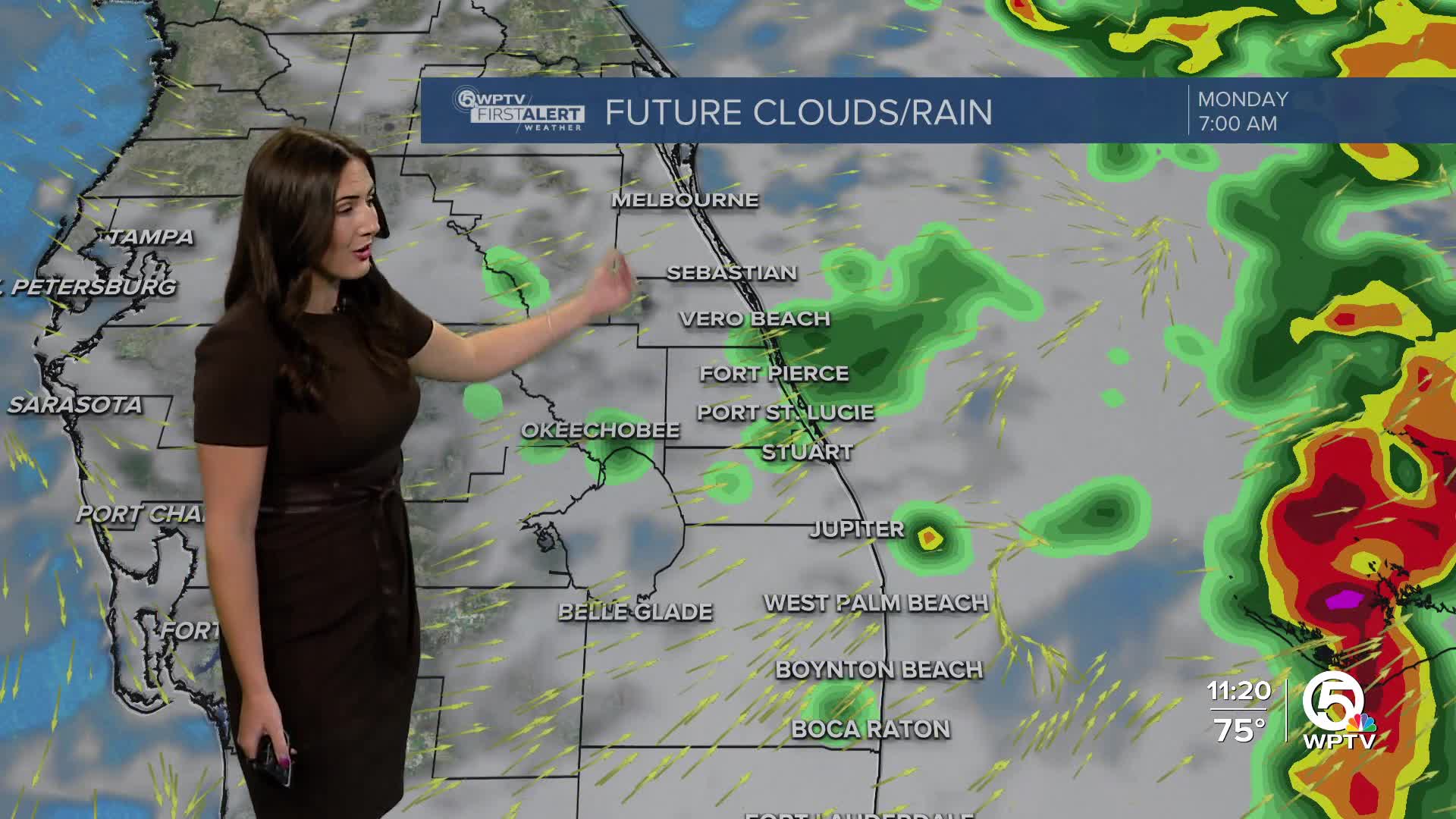
A flood watch has been issued for coastal Palm Beach County Monday. 1-2 inches of rain will be common with the potential of spotty areas at 3-4 inches.

With scattered to widespread downpours expected through Wednesday, high temperatures will stay in the 80s.
Locally heavy rainfall may produce ponding on roadways and flooding in poor drainage areas. Never drive on roads that are flooded— turn around if you can't see how deep the water is.
MORE WEATHER: Radar | Alerts | 7-Day Forecast | Hourly Forecast
A broad area of low pressure in the Atlantic, just off the north Florida coastline, will push west over Florida in the next day or so before landing in the northeastern Gulf Tuesday.
As the low drifts west in the Gulf, gradual development of a tropical system is possible towards the middle or latter half of the week.

Regardless of development, our impacts will be the same an uptick in moisture and increased rainfall over South Florida during the next few days.


