


WEST PALM BEACH, Fla. — A tropical storm watch has been issued along the Treasure Coast, and a tropical storm warning has been issued for coastal waters off Palm Beach County as a tropical depression nears the Bahamas.
Tropical Depression 9 formed late Saturday morning and is expected to strengthen into a tropical storm as it moves parallel to our coast.
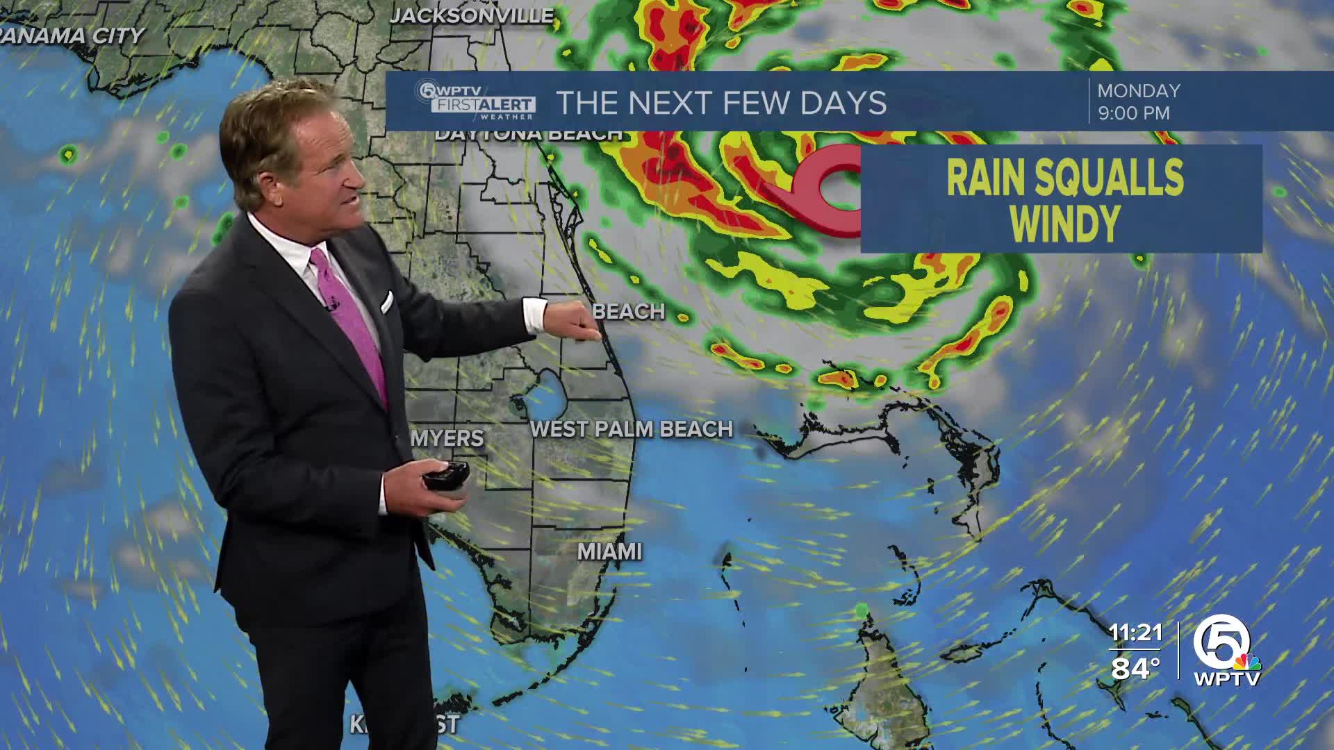
Tropical storm-force winds will be possible across the South Florida Atlantic waters through Monday afternoon as the system strengthens into Tropical Storm Imelda.
MORE WEATHER: Radar | Alerts | 7-Day Forecast | Hourly Forecast
The watch means tropical storm-force winds are possible within 48 hours. Forecast guidance keeps the system offshore of Florida, but its proximity will bring deteriorating weather conditions along the coast.
The center of the system will remain offshore, but periods of heavy rain and breezy conditions are likely along the coast. Impacts include increasing rain and storms beginning Sunday morning, with windier conditions arriving late in the day.
Gusty winds and periods of heavy rainfall are possible through Tuesday. Seas will be dangerous through at least midweek. Mariners should alter plans to avoid hazardous conditions that could capsize or damage vessels.
There will be dangerous rip currents along with large waves of 7 to 11 feet or higher that could also bring minor coastal erosion during high tide.
Coastal hazards will gradually improve by midweek, though ocean swells may linger.


