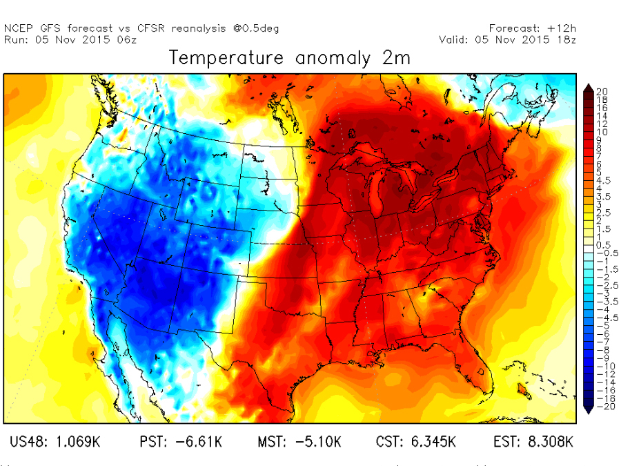
If you've been east of the Rockies this week, chances are you've been enjoying some unusually warm weather.
Call it Indian Summer or whatever you like, the weather has felt more like early September instead of November.
Now, a big front stretching from Minnesota to west Texas is moving east, and it's ushering in some more seasonable air.
It's also bringing the chance for severe storms to the Southern Plains today and then to the Midwest and parts of the South tomorrow.
Behind this front, temperatures are likely to drop up to 20 degrees in some places.
Temperatures have been well above average this entire week, and it's lasted an unusually long time thanks to a big blocking high pressure system along the east coast.

By the end of the weekend, temperatures will be a lot lower, but it doesn't look like that'll last. Another blast of warmer air is expected to begin moving into the Northern Plains by then.
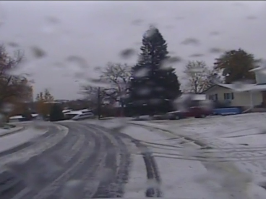
While the eastern half of the U.S. has been enjoying a reprieve from the inevitable winter cold, parts of the Rockies are experiencing a winter wonderland with the season's first significant snowfall.


